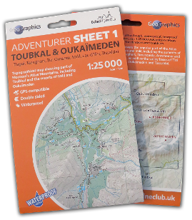
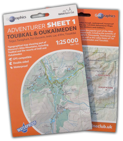
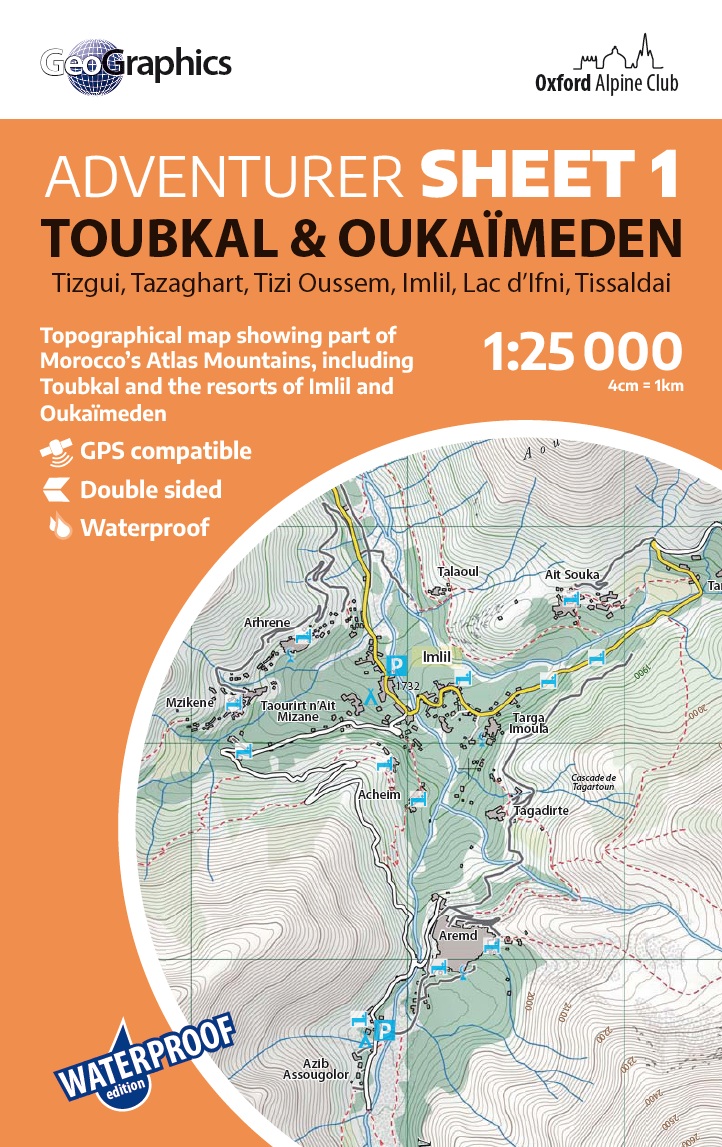
1:25,000 ADVENTURER Sheet 1
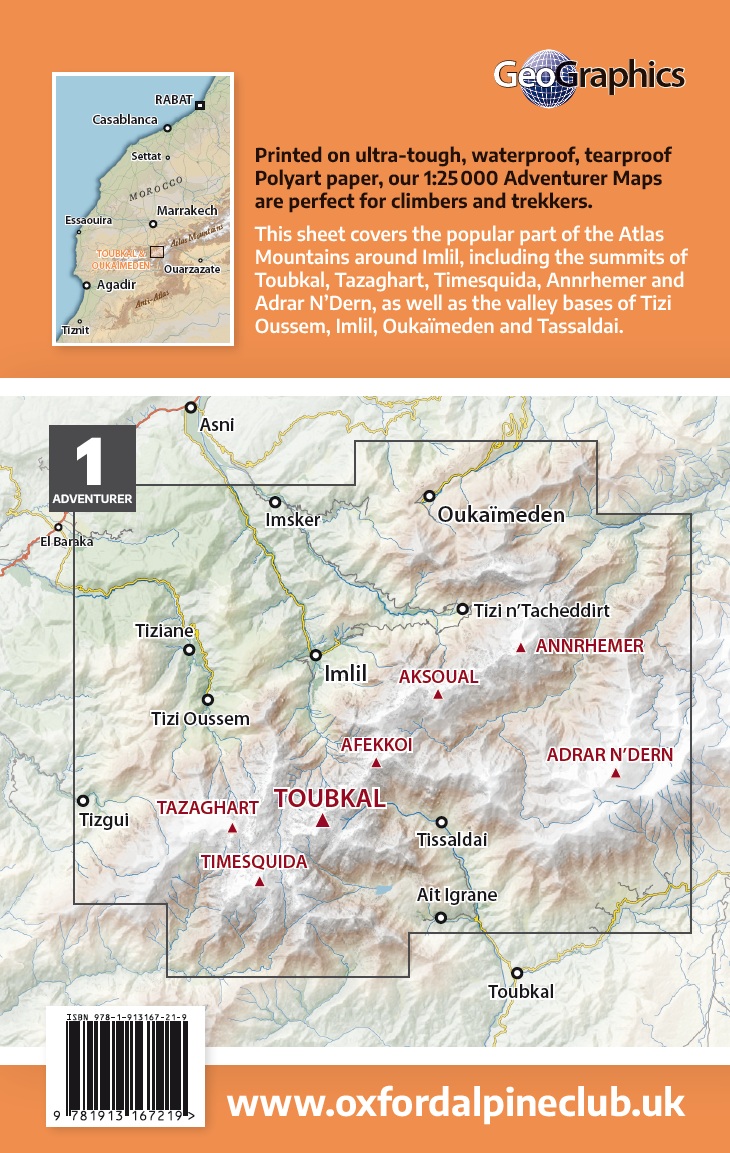
The essential map for climbing, mountaineering or ski-touring in the Toubkal National Park, our 1:25000 scale topographic map cover the entire Toubkal Massif in one handy double-sided sheet.
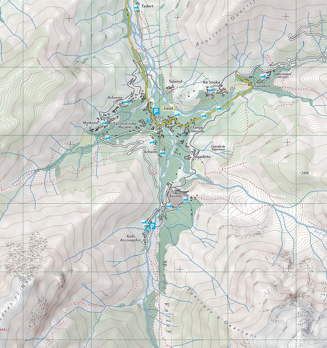
Printed on ultra-durable waterproof and tear-proof PolyArt paper, these detailed 1:25000 topographic maps feature contours at 10m intervals, hill shading, woodland and scrub areas, rivers and dry riverbeds. They also shows roads, tracks, and paths, as well as ski-lifts, and have annotations for mountain refuges and campsites. A 1km UTM grid and WGS 84 GPS overlay make the maps compatible with hand-held GPS devices.
For coverage information, click images below:
